
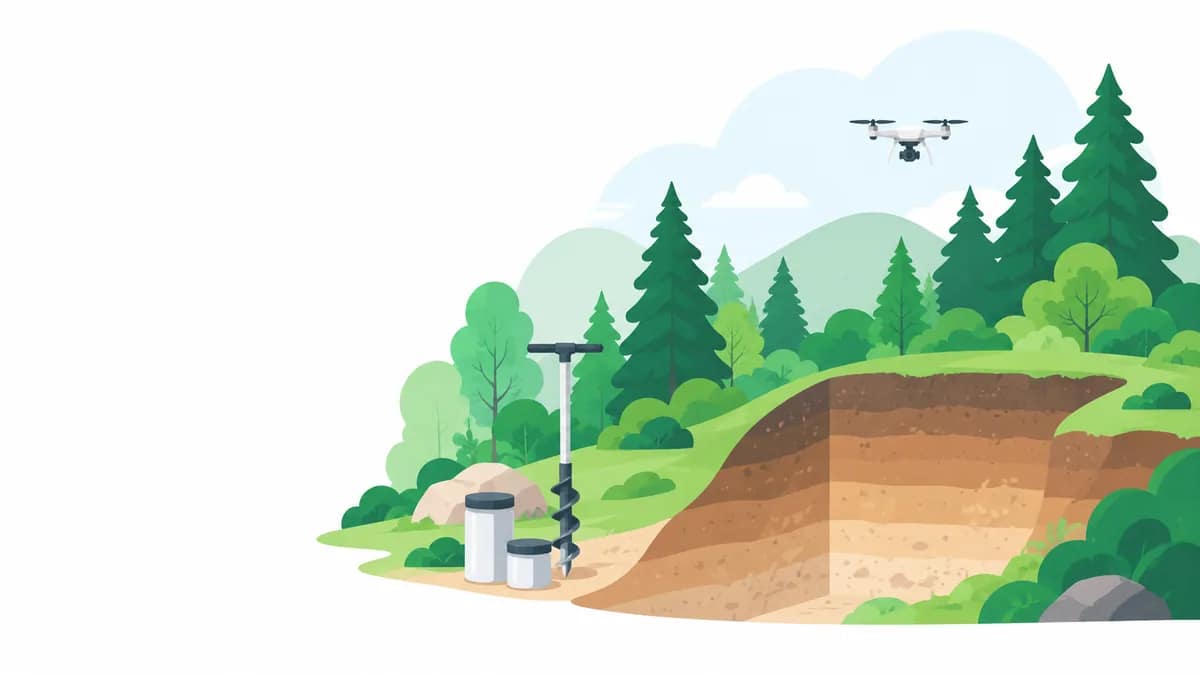
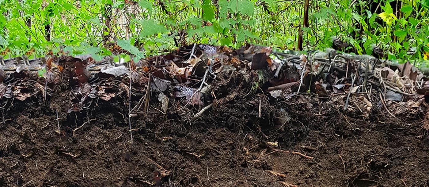
In line with the Korea Forest Service’s Forest GIS master plan, we upscale the 1:25,000 forest site map to 1:5,000 and provide user-tailored soil information.
Overview
Based on the Korea Forest Service’s Forest GIS master plan, we carry out the upscaling of the existing 1:25,000 forest site map to 1:5,000. Starting from the 1996 forest site survey and 1:25,000 forest site map production, we have been the nation’s leading institution responsible for producing the nationwide forest site & soil map (1:5,000) from 2009 to 2021.
By providing public-oriented, tailored soil information, we contribute to building knowledge-based forest informatization, and we perform the entire process in-house — from on-site site-environment and soil-profile surveys to laboratory physicochemical analysis and GIS-based map production.
Process
- 1 Survey planningWe review existing soil maps and aerial photographs and design the survey area and standard plots.
- 2 On-site site & profile surveyWe survey and record site-environment items and soil profiles in the field.
- 3 Physicochemical analysisWe quantitatively analyze the physical and chemical properties of collected samples in our own laboratory.
- 4 GIS soil map productionWe map the survey and analysis results in GIS to produce a 1:5,000 soil map.
- 5 Inspection, delivery & database buildingAfter quality inspection, we deliver the results and build them into a forest spatial-information database.
Featured Track Record
View all records- 2009~2021Production of the forest site & soil map (1:5,000)Korea Forest Service
- 2022~2025Quality management for forest spatial-information survey and developmentKorea Forest Service
- 2008Pilot production of the forest site & soil map (1:5,000) for building the forest information systemKorea Forest Service
- 1996~2002Forest site survey and production of the 1:25,000 forest site mapKorea Forest Service
Related Equipment & Technology
- Soil-profile surveyStandard survey of 13 site-environment and 11 profile items
- GIS mapping & spatial analysisProduction of large-scale 1:5,000 soil maps
- Soil physicochemical analysisQuantitative analysis via our in-house laboratory
- Aerial photo interpretationInterpretation for site zoning and inspection