
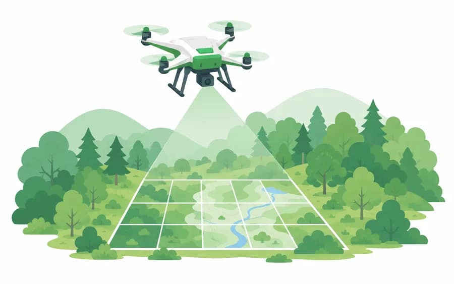
We conduct precise forest surveys through drone photography and orthophoto production.
Overview
We conduct precise forest surveys through drone photography and orthophoto production. As an institution registered for the ultralight aircraft use business since 2019, we respond to aerial-photography demand across all forestry fields, including pine wilt disease monitoring.
We use drone orthophotos for surveys of forest status and environmental grades at development-project sites, such as the LH public housing district forest status survey.
Process
- 1 Flight planningWe review site conditions and regulations to establish a flight and photography plan.
- 2 Drone photographyWe photograph along the planned route according to overlap standards.
- 3 Orthophoto productionWe align the captured imagery to produce orthophotos.
- 4 Interpretation, analysis & deliveryWe deliver the deliverables together with purpose-specific interpretation and analysis results.
Featured Track Record
View all records- 2021[LH forest status & environmental grade map survey] Goyang ○○ public housing district forest status surveyLH
- 2021[LH forest status & environmental grade map survey] Seoul ○○ entrusted development project designation proposal and prior disaster-impact review serviceLH
Related Equipment & Technology
- Registered ultralight aircraft use business (2019)
- Orthophoto productionHigh-overlap photography and image alignment
- Forest status interpretationForest and environmental-grade surveys of development-project sites