
We produce and update the forest type map — a basic forest thematic map — by building the latest data on artificially and naturally changed areas.
Overview
The forest type map is a basic forest thematic map that serves as the foundation for various forestry projects and public services. By building the latest data on artificially changed areas such as logging and afforestation and naturally changed areas such as forest fires and pests, it is used for the efficient management of forests.
We carried out forest type map production from 2009 and forest type map updating from 2014 to 2021 continuously, and we participate broadly in national spatial-information projects, including national forest spatial-information survey and development (forest type map updating, forest site & soil map, and quality management).
Process
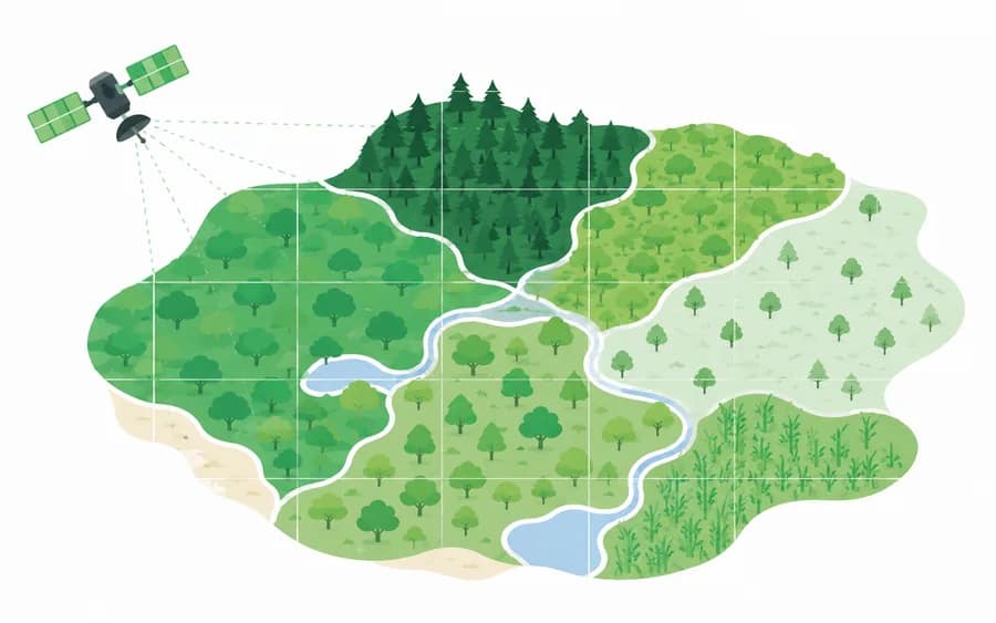
- 1 Change-area extractionWe extract artificially and naturally changed areas through comparative interpretation of satellite and aerial imagery.
- 2 Field surveyWe verify the forest type, age class, crown density, and more of the extracted change areas in the field.
- 3 Map updatingWe update forest-type boundaries and attributes with the latest information in GIS.
- 4 Quality inspection & deliveryAfter structural and logical inspection, we deliver the results as national forest spatial information.
Featured Track Record
View all records- 2014~2021Forest type map updating projectKorea Forest Service
- 2022Forest type map information revisionKorea Forest Service
- 2020~2021National forest spatial-information survey and development (forest type map updating, forest site & soil map, quality management)Korea Forest Service
- 2009~2012Forest type map production projectKorea Forest Service
Related Equipment & Technology
- Comparative image interpretationChange-area extraction from satellite and aerial imagery
- Forest type field surveySurvey of forest type, age class, diameter class, and crown density
- GIS editing & quality managementCompliance with national forest spatial-information standards